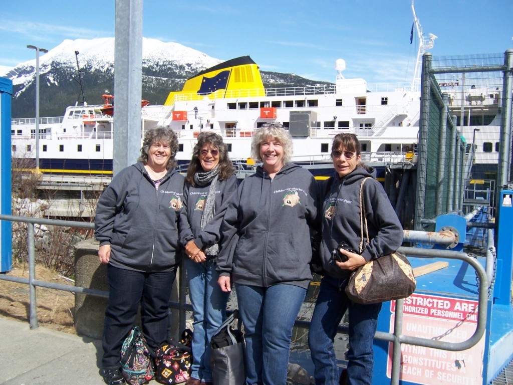
May 8th, Wednesday; Another beautiful dawn and we were ready for the shuttle. There at the ferry dock was the Malaspina. We still lived in Haines when the Malaspina made its maiden voyage as the first big ferry for the Alaska Marine Highway System. This is the 50 year anniversary of of the AMHS. Previous to that there had been the Chilkat and Chilkoot, you can read a bit about them in Book #3!
We were relieved to find there are carts for the baggage, and we didn’t have to trundle our big bags around all day, as this is a 4 ½ hour trip.
We enjoyed a good breakfast and then settled in seats at the very front of the passenger deck, with huge viewing windows.
Of course, I had left the maps I’d carefully printed in my bag which was somewhere ‘down below’ so we had to guess at our location for a while! There was a fourth grade field trip aboard, headed to Skagway in the culmination of their study of mining in SE Alaska, and we soon were chatting a bit with their chaperones and some other folk headed north.
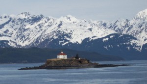
Before long we were past Berner’s Bay and could see something white in the channel ahead of us. YES! It is Eldred Rock!
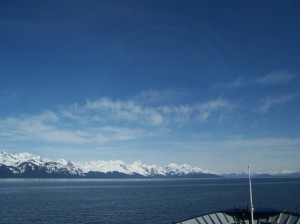
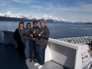
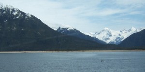
Amazing how far away one can see the building when the sun is shining! We adjourned to the foredeck and began identifying familiar objects; Sullivan Island, Eldred Rock, the islands between there and Seduction Point, and of course peaks at Glacier Point.
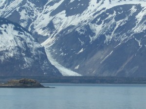
One used to be able to see Davidson Glacier all through that stretch but it has receded so far that you have to be almost due East before it is visible.
Again with the ‘can’t believe we are REALLY here’ refrain!
As we had always traveled up the west side of the peninsula on our trips to town, the east side was unfamiliar except for Mud Bay, and there the number of visible houses were a surprise.
It was somewhere near the Katzehin delta that we saw the whales, for the second time! [For a great story about this mud flats, Book #3.]
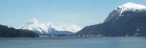
Soon we could see Haines and Port Chilkoot,
and steamed on past to the ferry dock [old government dock to us] in Lutak Inlet.
Tracy Gage, our campground host, met and transported us to Salmon Run where we unloaded at the Bear Den, our assigned cabin. A bit of visiting, signing in, and we were off! Gage’s loaned us one of their vehicles for the duration and this was great.

